The Pacific Ocean is the largest and deepest of Earth's five oceanic divisions. It extends from the Arctic Ocean in the north to the Southern Ocean (or, depending on definition, to Antarctica) in the south, and is bounded by the continents of Asia and Australia in the west and the Americas in the east.
At 165,250,000 square kilometers (63,800,000 square miles) in area (as defined with a southern Antarctic border), this largest division of the World Ocean and the hydrosphere covers about 46% of Earth's water surface and about 32% of the planet's total surface area, larger than its entire land area (148,000,000 km2 (57,000,000 sq mi)).[1] The centers of both the Water Hemisphere and the Western Hemisphere, as well as the oceanic pole of inaccessibility, are in the Pacific Ocean. Ocean circulation (caused by the Coriolis effect) subdivides it[2] into two largely independent volumes of water that meet at the equator, the North Pacific Ocean and the South Pacific Ocean (or more loosely the South Seas). The Pacific Ocean can also be informally divided by the International Date Line into the East Pacific and the West Pacific, which allows it to be further divided into four quadrants, namely the Northeast Pacific off the coasts of North America, the Southeast Pacific off South America, Northwest Pacific off Far Eastern/Pacific Asia, and the Southwest Pacific around Oceania.
The Pacific Ocean's mean depth is 4,000 meters (13,000 feet).[3] Challenger Deep in the Mariana Trench, located in the northwestern Pacific, is the deepest known point in the world, reaching a depth of 10,928 meters (35,853 feet).[4] The Pacific also contains the deepest point in the Southern Hemisphere, the Horizon Deep in the Tonga Trench, at 10,823 meters (35,509 feet).[5] The third deepest point on Earth, the Sirena Deep, is also located in the Mariana Trench.
The western Pacific has many major marginal seas, including the Philippine Sea, South China Sea, East China Sea, Sea of Japan, Sea of Okhotsk, Bering Sea, Gulf of Alaska, Mar de Grau, Tasman Sea, and the Coral Sea.
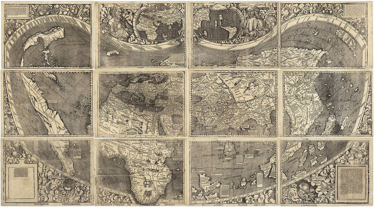
In the early 16th century, Spanish explorer Vasco Núñez de Balboa crossed the Isthmus of Panama in 1513 and sighted the great "Southern Sea" which he named Mar del Sur (in Spanish). Afterwards, the ocean's current name was coined by Portuguese explorer Ferdinand Magellan during the Spanish circumnavigation of the world in 1521, as he encountered favorable winds on reaching the ocean. He called it Mar Pacífico, which in Portuguese means 'peaceful sea'.[6][7]

Top large seas:[8]
Across the continents of Asia, Australia and the Americas, more than 25,000 islands, large and small, rise above the surface of the Pacific Ocean. Multiple islands were the shells of former active volcanoes that have lain dormant for thousands of years. Close to the equator, without vast areas of blue ocean, are a dot of atolls that have over intervals of time been formed by seamounts as a result of tiny coral islands strung in a ring within surroundings of a central lagoon.

Important human migrations occurred in the Pacific in prehistoric times. Modern humans first reached the western Pacific in the Paleolithic, at around 60,000 to 70,000 years ago. Originating from a southern coastal human migration out of Africa, they reached East Asia, Mainland Southeast Asia, the Philippines, New Guinea, and then Australia by making the sea crossing of at least 80 kilometres (50 mi) between Sundaland and Sahul. It is not known with any certainty what level of maritime technology was used by these groups – the presumption is that they used large bamboo rafts which may have been equipped with some sort of sail. The reduction in favourable winds for a crossing to Sahul after 58,000 B.P. fits with the dating of the settlement of Australia, with no later migrations in the prehistoric period. The seafaring abilities of pre-Austronesian residents of Island South-east Asia are confirmed by the settlement of Buka by 32,000 B.P. and Manus by 25,000 B.P. Journeys of 180 kilometres (110 mi) and 230 kilometres (140 mi) are involved, respectively.[9]
The descendants of these migrations today are the Negritos, Melanesians, and Indigenous Australians. Their populations in maritime Southeast Asia, coastal New Guinea, and Island Melanesia later intermarried with the incoming Austronesian settlers from Taiwan and the northern Philippines, but also earlier groups associated with Austroasiatic-speakers, resulting in the modern peoples of Island Southeast Asia and Oceania.[10][11]

A later seaborne migration is the Neolithic Austronesian expansion of the Austronesian peoples. Austronesians originated from the island of Taiwan c. 3000–1500 BCE. They are associated with distinctive maritime sailing technologies (notably outrigger boats, catamarans, lashed-lug boats, and the crab claw sail) – it is likely that the progressive development of these technologies were related to the later steps of settlement into Near and Remote Oceania. Starting at around 2200 BCE, Austronesians sailed southwards to settle the Philippines. From, probably, the Bismarck Archipelago they crossed the western Pacific to reach the Marianas Islands by 1500 BCE,[12] as well as Palau and Yap by 1000 BCE. They were the first humans to reach Remote Oceania, and the first to cross vast distances of open water. They also continued spreading southwards and settling the rest of Maritime Southeast Asia, reaching Indonesia and Malaysia by 1500 BCE, and further west to Madagascar and the Comoros in the Indian Ocean by around 500 CE.[13][14][15] More recently, it is suggested that Austronesians expanded already earlier, arriving in the Philippines already in 7000 BCE. Additional earlier migrations into Insular Southeast Asia, associated with Austroasiatic-speakers from Mainland Southeast Asia, are estimated to have taken place already in 15000 BCE.[16]
At around 1300 to 1200 BCE, a branch of the Austronesian migrations known as the Lapita culture reached the Bismarck Archipelago, the Solomon Islands, Vanuatu, Fiji, and New Caledonia. From there, they settled Tonga and Samoa by 900 to 800 BCE. Some also back-migrated northwards in 200 BCE to settle the islands of eastern Micronesia (including the Carolines, the Marshall Islands, and Kiribati), mixing with earlier Austronesian migrations in the region. This remained the furthest extent of the Austronesian expansion into Polynesia until around 700 CE when there was another surge of island exploration. They reached the Cook Islands, Tahiti, and the Marquesas by 700 CE; Hawaiʻi by 900 CE; Rapa Nui by 1000 CE; and finally New Zealand by 1200 CE.[14][17][18] Austronesians may have also reached as far as the Americas, although evidence for this remains inconclusive.[19][20]
The first contact of European navigators with the western edge of the Pacific Ocean was made by the Portuguese expeditions of António de Abreu and Francisco Serrão, via the Lesser Sunda Islands, to the Maluku Islands, in 1512,[21][22] and with Jorge Álvares's expedition to southern China in 1513,[23] both ordered by Afonso de Albuquerque from Malacca.
The eastern side of the ocean was encountered by Spanish explorer Vasco Núñez de Balboa in 1513 after his expedition crossed the Isthmus of Panama and reached a new ocean.[24] He named it Mar del Sur ("Sea of the South" or "South Sea") because the ocean was to the south of the coast of the isthmus where he first observed the Pacific.
In 1520, navigator Ferdinand Magellan and his crew were the first to cross the Pacific in recorded history. They were part of a Spanish expedition to the Spice Islands that would eventually result in the first world circumnavigation. Magellan called the ocean Pacífico (or "Pacific" meaning, "peaceful") because, after sailing through the stormy seas off Cape Horn, the expedition found calm waters. The ocean was often called the Sea of Magellan in his honor until the eighteenth century.[25] Magellan stopped at one uninhabited Pacific island before stopping at Guam in March 1521.[26] Although Magellan himself died in the Philippines in 1521, Spanish navigator Juan Sebastián Elcano led the remains of the expedition back to Spain across the Indian Ocean and round the Cape of Good Hope, completing the first world circumnavigation in 1522.[27] Sailing around and east of the Moluccas, between 1525 and 1527, Portuguese expeditions encountered the Caroline Islands,[28] the