The glaciers and ice caps of Iceland covered 11% of the land area of the country, up to about 2008. As of 2019[update] this was down to 10%. They have a considerable impact on its landscape and meteorology. Glaciers are also contributing to the Icelandic economy, with a tourist market that includes glacier trips on snowmobiles and glacier hiking tours. However, the recent loss of ice due to climate change is an increasing concern in Icelandic society.[1]
Glaciers can both grow in size and regress depending upon several factors of which climate and precipitation in the glaciers catchment are the most important. About 7,000 years ago, the Pleistocene ice from the last Ice Age over Iceland disappeared almost entirely, so the current glaciers in Iceland are not that old.[2]: 377 In the case of Iceland as several large glaciers are over active volcanoes, geothermal melting can be a substantial component of the glacier ice mass balance.[3]: 2 Accordingly Iceland's glacier area varies from year to year and some glaciers may grow while others regress. The tables below have to be interpreted considering such variations in time and do not include much other data that those who study glaciers would regard as important. Data that was gathered over many years in the 1890s, or even by the first complete aerial photographic survey between 1945 and 1946 is difficult to compare to the richer satellite studies and the on the ground measurements possible since the 1990's but such comparisons have been attempted.[3] Even so there are gaps in the data (see Table 2). Two different definitions of a glacier are usually used in current research and much Iceland work is closer to the definition:[3]: 7
A perennial mass of ice, and possibly firn and snow, originating on the land surface by the recrystallization of snow or other forms of solid precipitation and showing evidence of past or present flow
An ice cap is a mass of glacial ice that covers less than 50,000 km2 (19,000 sq mi) of land area covering a highland area and they feed outlet glaciers.[4]: 52 Many Icelandic ice caps and glaciers lie above volcanoes, such as Grímsvötn and Bárðarbunga, which lie under the largest ice cap, Vatnajökull. The caldera of Grímsvötn is about 100 km2 (39 sq mi) in area, and Bárðarbunga is about 60 km2 (23 sq mi) meaning a large amount of ice, given mean icecap thickness of about 200 m (660 ft) is at risk of geothermal melting.
When volcanic activity occurs under the glacier, the resulting meltwater can lead to a sudden glacial lake outburst flood, known in Icelandic as a jökulhlaup. However jökulhlaups are more commonly caused by accumulation of meltwater due to geothermal activity underneath the glacier. Jökulhlaups occasionally trigger volcanic eruptions through the sudden release of pressure. These eruptions occur towards the end of the Jökulhlaup.[5]: 88
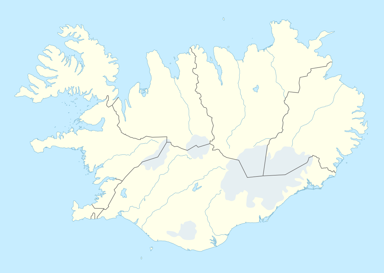
The glaciers are relevant enough in Icelandic geography that the four largest are represented blank in most of the maps of the administrative divisions of Iceland smaller than the regions.
Iceland is losing ice due to climate change. In 2008 its glaciers still covered 11% of the land area of the country, at about 11,100 km2 (4,300 sq mi) out of the total area of 103,125 km2 (39,817 sq mi).[2]: 365, 368 As of 2019[update] this was down to 10%.[3]: 2
Okjökull in Borgarfjörður, West Iceland, has lost its glacier title and is now simply known as Ok, losing the Icelandic word for glacier, jökull, as a suffix. In order to fit the criteria glaciers need to be thick enough to sink and move under their own weight, which any ice remaining of Okjökull can not do. Okjökull is the first Icelandic glacier to lose this title in an official manner,[6][7] but tens of smaller glaciers have disappeared up to 2019.[3]: 27
These 13 largest glaciers had, at slightly different times around the year 2000, an aggregate area of 10,863 km2 (4,194 sq mi) (out of about 11,079 km2 (4,278 sq mi) for all glaciers of Iceland).[11] The total glacial area in 2019 was down to 10,400 km2 (4,000 sq mi), and had decreased by more than 2,200 km2 (850 sq mi) since the end of the 19th century.[3]: 27
The list of glaciers below and their characteristics is incomplete. Many of the smaller glaciers that are presently only glacier remnants have not been added to the list. There are for example over 170 glaciers on the Tröllaskagi peninsula,[3]: 3 northern Iceland and many have little significance or have regressed. Okjökull is mentioned in the table below although it is no longer recognised as a glacier as it has recent significance by its rate of disappearance of a large glacier due to climate change. In Iceland the recent maximum extent of glaciers occurred in a process from the onset of the Little Ice Age about 1450 CE and did not stop until about 1900 CE.[3]: 1 Some outlet glaciers have shown marked surges over relatively short periods of time resulting in growth in glacial size.[3]: 4 This has only changed the recent overall trend to smaller total area of glacial ice for a brief period in 1963–1964 from a surge in Brúarjökull.[3]: 25 Other glaciers have been linked, for example in the 1980s Mýrdalsjökull and Eyjafjallajökull were one continuous ice cap.[12]