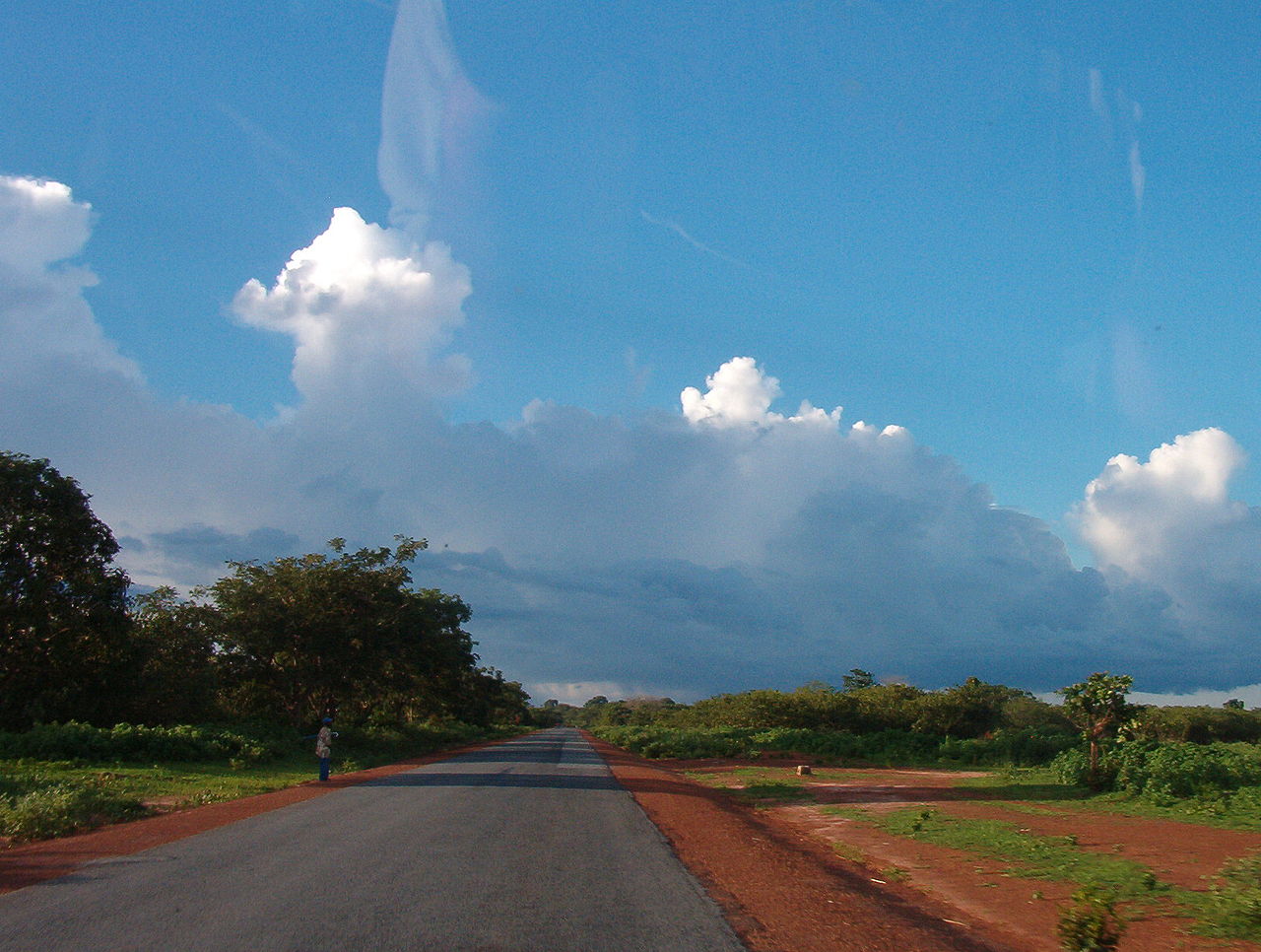
The geography of Guinea-Bissau is that of low coastal plains bordering the Atlantic Ocean. The country borders Senegal in the north and Guinea in the southeast.
Terrain and ecology
Guinea-Bissau's topography.
The terrain of Guinea-Bissau is mostly low coastal plain with swamps of Guinean mangroves rising to Guinean forest-savanna mosaic in the east.[1] A recent global remote sensing analysis suggested that there were 1,203km² of tidal flats in Guinea-Bissau, making it the 28th ranked country in terms of tidal flat area. [2]
The lowest point on Guinea-Bissau is at sea level at the Atlantic Ocean.[1] The highest point in Guinea-Bissau is Monte Torin with an elevation of 262 m (860 ft).[1]
Natural resources found in Guinea-Bissau include fish, timber, phosphates, bauxite, clay, granite, limestone and unexploited deposits of petroleum.[1] 10.67% of the land is arable and 235.6 square kilometres are irrigated.[1]
Near the Senegal border there have been historic sightings of the painted hunting dog, Lycaon pictus, but that endangered canid may now be extirpated in that locale.[3]
Climate
Guinea-Bissau's climate is tropical. This means it is generally hot and humid. It has a monsoonal-type rainy season (June to November) with southwesterly winds and a dry season (December to May) with northeasterly harmattan winds.[1]
Köppen–Geiger climate classification map at 1-km resolution for Guinea-Bissau (1991–2020)
Guinea-Bissau is warm all year around and there is little temperature fluctuation; it averages 26.3 °C (79.3 °F). The average rainfall for the capital city Bissau is 2,024 millimetres (79.7 in) although this is almost entirely accounted for during the rainy season which falls between June and September/October. From December through April, the country receives very little rainfall.


_(2).jpg/1280px-20130613-DSC_9133_(9291669831)_(2).jpg)
