The point was charted and named by James Weddell, Royal Navy, Master of the brig Jane, during the period 1820–23.[1]
Location
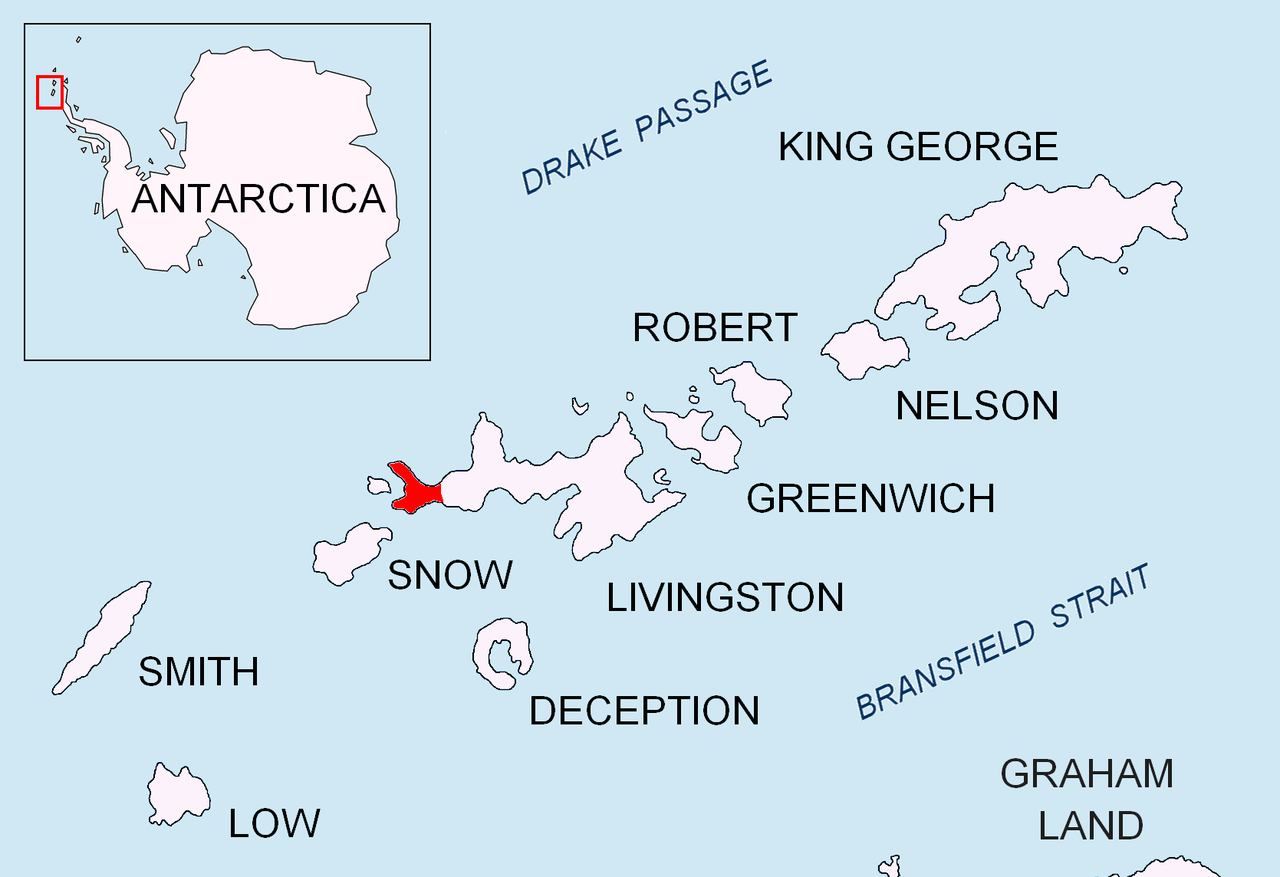
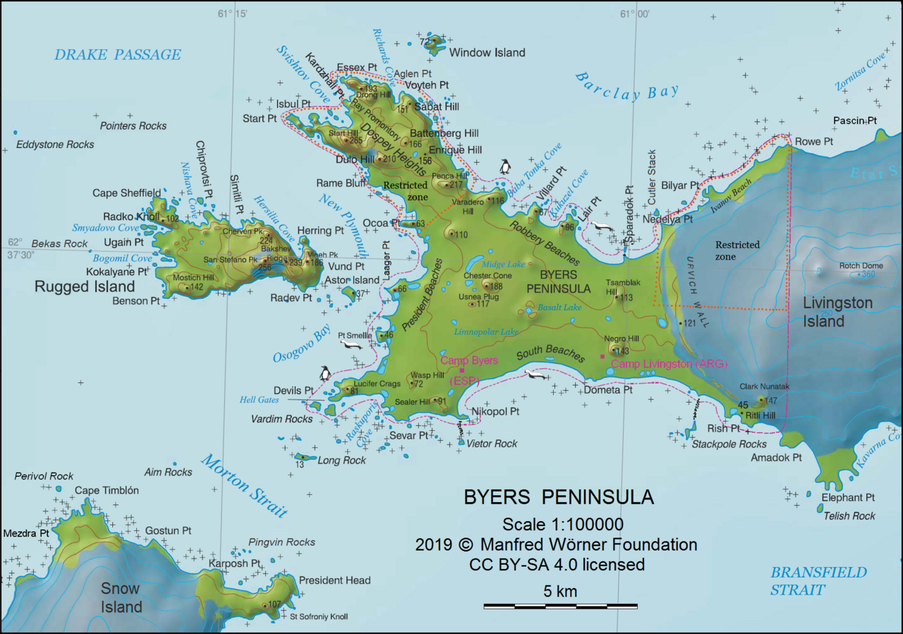
The point is located at 62°40′15.9″S 61°10′57.3″W / 62.671083°S 61.182583°W / -62.671083; -61.182583 which is 6.22 km north of President Head, Snow Island, 6.33 km east-southeast of Benson Point, Rugged Island and 16.8 km west by north of Elephant Point. British mapping in 1968, detailed Spanish mapping in 1992, and Bulgarian mapping in 2005 and 2009.
Maps
Chart of South Shetland including Coronation Island, &c. from the exploration of the sloop Dove in the years 1821 and 1822 by George Powell Commander of the same. Scale ca. 1:200000. London: Laurie, 1822
Península Byers, Isla Livingston. Mapa topográfico a escala 1:25000. Madrid: Servicio Geográfico del Ejército, 1992. (Map image on p. 55 of the linked study)
L.L. Ivanov et al. Antarctica: Livingston Island and Greenwich Island, South Shetland Islands. Scale 1:100000 topographic map. Sofia: Antarctic Place-names Commission of Bulgaria, 2005.
L.L. Ivanov. Antarctica: Livingston Island and Greenwich, Robert, Snow and Smith Islands. Scale 1:120000 topographic map. Troyan: Manfred Wörner Foundation, 2009. ISBN 978-954-92032-6-4
In fiction
The Devils Point area is part of the mise-en-scène of the 2016 Antarctica thriller novelThe Killing Ship by Simon Beaufort; the point is shown on a sketch map of Livingston Island illustrating the book.[2][3]