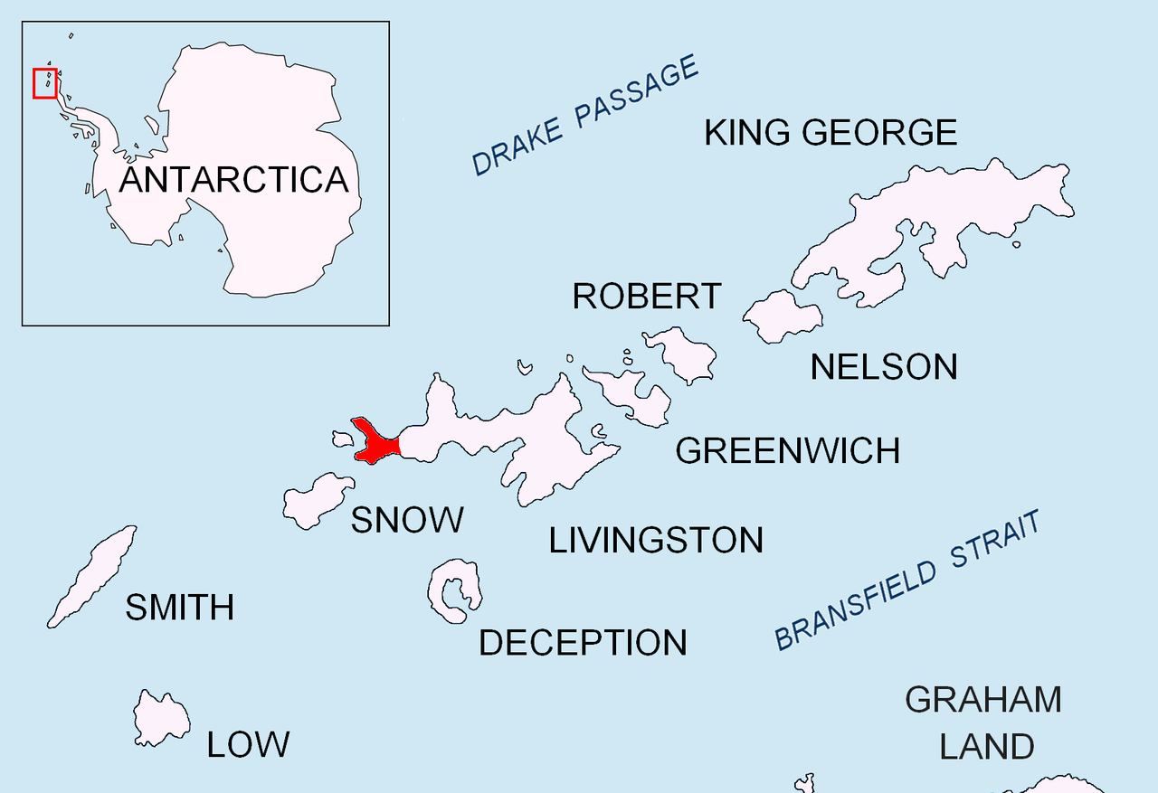
Location of Byers Peninsula, Livingston Island in the South Shetland Islands.Topographic map of Livingston Island with the bases and base camps on the island.
The encampment is located at 62°39′22″S 61°00′39″W / 62.65611°S 61.01083°W / -62.65611; -61.01083 which is 500 m west-southwest of Negro Hill, 700 m north by east of Dometa Point, 4.63 km east by north of the Spanish Camp Byers and 4.38 km southeast of Chester Cone (detailed Spanish mapping of the area in 1992, Bulgarian mapping in 2005 and 2009).
Península Byers, Isla Livingston. Mapa topográfico a escala 1:25000. Madrid: Servicio Geográfico del Ejército, 1992. (Map image on p. 55 of the linked study)
L.L. Ivanov et al. Antarctica: Livingston Island and Greenwich Island, South Shetland Islands. Scale 1:100000 topographic map. Sofia: Antarctic Place-names Commission of Bulgaria, 2005.
L.L. Ivanov. Antarctica: Livingston Island and Greenwich, Robert, Snow and Smith Islands. Scale 1:120000 topographic map. Troyan: Manfred Wörner Foundation, 2009. ISBN 978-954-92032-6-4
Antarctic Digital Database (ADD). Scale 1:250000 topographic map of Antarctica. Scientific Committee on Antarctic Research (SCAR). Since 1993, regularly upgraded and updated.
L.L. Ivanov. Antarctica: Livingston Island and Smith Island. Scale 1:100000 topographic map. Manfred Wörner Foundation, 2017. ISBN 978-619-90008-3-0
References
Salvador Alaimo. Argentine Antarctic Stations. 2010.
Ivanov, L. General Geography and History of Livingston Island. In: Bulgarian Antarctic Research: A Synthesis. Eds. C. Pimpirev and N. Chipev. Sofia: St. Kliment Ohridski University Press, 2015. pp. 17–28. ISBN 978-954-07-3939-7