Medieval Armenian sources attest to a settlement in the locale called Mayraberd (Armenian: Մայրաբերդ, lit. 'mother fortress'). The modern name Askeran (Armenian: Ասկերան, lit. 'military encampment') refers to the settlement's historic use from the beginning of the 18th-century as an arsenal for various military powers.[3]
Askeran originally belonged to the historic territory of Dizak before becoming part of the Armenian Melikdom of Varanda in the first half of the 16th-century. The Askeran fortress protected the eastern frontier of Varanda from the semi-autonomous Karabakh Khanate,[4][5] which was under the suzerainty of Iran.[6][7] The Askeran Fortress was built upon the foundations of the medieval Armenian village and fortress known as Mayraberd.[3] In 1752, the melik (prince) of Varanda, Shahnazar II, made an alliance with the Karabakh khan Panah Ali Khan,[8][9] who expanded the fortress to its current state.[10] In July 1795, the Askeran fortress was captured by the forces of the Qajar shah (king) Agha Mohammad Khan Qajar (r. 1789–1797), who attempted to restore Iranian rule in the southeastern Caucasus.[11]
During the Russo-Persian War of 1804–1813, the Russian encampment was near the fortress.[12] In 1810, peace talks between Russia and Iran were conducted at the fortress.[2] Restoration works on the fortress began in 2018.[13] The fortress is situated in the southern part of the town.
Historical heritage sites in and around Askeran include the 18th-century Askeran Fortress, the cave-shrine of Hatsut (Armenian: Հացուտ), and the church of Surb Astvatsatsin (Armenian: Սուրբ Աստվածածին, lit.'Holy Mother of God') built in 2002.[17]
Economy and culture
The population is engaged in agriculture, horticulture, animal husbandry as well as in different state institutions and other private enterprises. The city is home to factories producing wine, brandy and non-alcoholic drinks, as well as architectural enterprises, secondary and musical schools, a house of culture, a municipal building, a kindergarten, and a hospital. The community of Askeran includes the village of Kyatuk.[17]
Demographics
In the census of 1933, 222 people divided into 48 households were recorded in the village, all of whom were Armenians.[18] Until 2023, Askeran was mostly populated by ethnic Armenians.[19] with around 700 inhabitants in 1970,[20] 1,967 inhabitants in 2005[21] and 2,300 inhabitants in 2015.[1]
St. Astvatsatsin Church (Church of the Holy Mother of God) in Askeran, opened in 2002
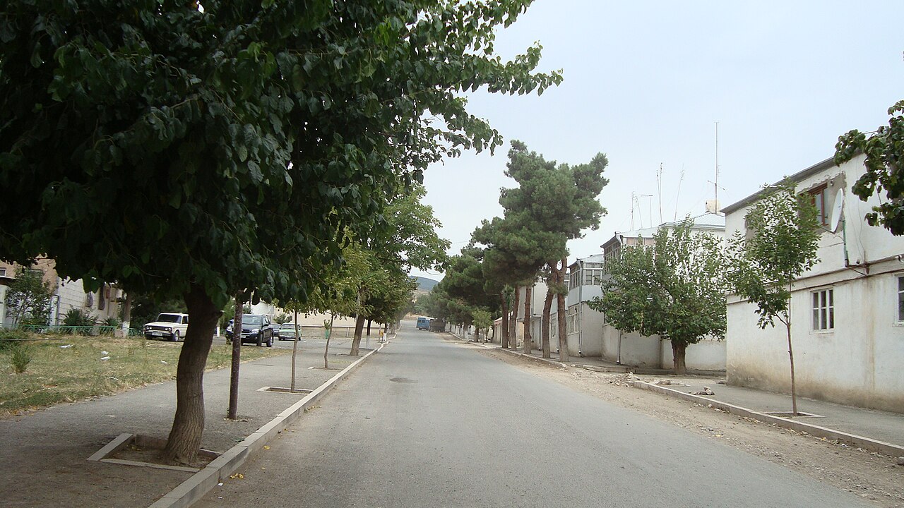
Scenery
Askeran City Stadium
District court in Askeran
View of Askeran from road leading up to Kyatuk
References
^ a bNagorno Karabakh in Figures (PDF). Stepanakert: National Statistical Service of the Nagorno Karabakh Republic. 2015.
^ a bEkbal 2002.
^ a bMkrtchyan 1988, pp. 161–162.
^Hewsen 1972, p. 301.
^Bournoutian 2016a, pp. 107–108.
^Bournoutian 2016b, p. xvii.
^Hambly 1991, pp. 145–146.
^Bournoutian 1994, p. 63 (see also note 141).
^Bournoutian 2021, p. 262.
^Hakobyan, Melik-Bakhshyan & Barseghyan 1986, p. 336.
^Behrooz 2023, pp. 19–20.
^Bournoutian, George; Javanshir Qarabaghi, Jamal (2004). Mirza Jamal Javanshir's Tarikh-e Karabagh and Mirza Adigözal Beg's Karabagh-name [Two Chronicles on the History of Karabagh]. Costa Mesa: Mazda Publishers. pp. 120–124. ISBN 9781568591797.
^ArtsakhPress (4 March 2019). "Reconstruction works are being conducted in Askeran fortress". artsakhpress.am.
^De Waal, Thomas (2003). Black Garden: Armenia and Azerbaijan through Peace and War. New York and London: New York University Press. p. 15. ISBN 0814719457.
^Carney, James. "Former Soviet Union: Carnage in Karabakh." Time. 13 April 1992. "Almost every day for the past three weeks, commanders from Askeran, an Armenian town on Karabakh's border with Azerbaijan, and Agdam, on the Azeri side, have met along a dirt road on the front to negotiate prisoner exchanges."
^"As Azerbaijan Consolidates Control, Armenians Flee Nagorno-Karabakh". Bellingcat. Armenpress. 28 September 2023. Retrieved 4 October 2023.
^ a bHakob Ghahramanyan. "Directory of socio-economic characteristics of NKR administrative-territorial units (2015)".
^Azerbaijan SSR Department of National Economic Accounting (1933). Административное деление АССР [Administrative division of the ASSR] (in Russian). Baku: AzUNKHU Publishing House. p. 107. Archived from the original on 28 December 2021.
^Zubov, Andrei (1 October 2020). "Карабах: Мир и Война". drugoivzgliad.com. Archived from the original on 20 October 2020.
^"Askeran". en.climate-data.org. Retrieved 8 October 2023.
Sources
Behrooz, Maziar (2023). Iran at War: Interactions with the Modern World and the Struggle with Imperial Russia. I.B. Tauris. ISBN 978-0-7556-3737-9.
Bournoutian, George (1994). A History of Qarabagh: An Annotated Translation of Mirza Jamal Javanshir Qarabaghi's Tarikh-e Qarabagh. Mazda Publishers. ISBN 978-1-56859-011-0.
Bournoutian, George (2016a). "Prelude to War: The Russian Siege and Storming of the Fortress of Ganjeh, 1803–4". Iranian Studies. 50 (1). Taylor & Francis: 107–124. doi:10.1080/00210862.2016.1159779. S2CID 163302882.
Bournoutian, George (2016b). The 1820 Russian Survey of the Khanate of Shirvan: A Primary Source on the Demography and Economy of an Iranian Province prior to its Annexation by Russia. Gibb Memorial Trust. ISBN 978-1-909724-80-8.
Bournoutian, George (2021). From the Kur to the Aras: A Military History of Russia's Move into the South Caucasus and the First Russo-Iranian War, 1801–1813. Brill. ISBN 978-90-04-44515-4.
Hakobyan, T. Kh.; Melik-Bakhshyan, St. T.; Barseghyan, H. Kh. (1986). "Ասկերան" [Askaran]. Հայաստանի և հարակից շրջանների տեղանունների բառարան [Dictionary of Toponymy of Armenia and Adjacent Territories] (in Armenian). Vol. V. Armenia: Yerevan State University Publishing House. p. 336.
Hambly, Gavin R. G. (1991). "Iran during the reigns of Fath 'Alī Shāh and Muhammad Shāh". In Avery, Peter; Hambly, Gavin R. G.; Melville, Charles Peter (eds.). The Cambridge History of Iran, Volume 7: From Nadir Shah to the Islamic Republic. Cambridge: Cambridge University Press. pp. 144–173. ISBN 0-521-20095-4.
._03.JPG/1280px-Askeran_fortress._Askeran,_Republic_of_Mountainous_Karabakh_(Artsakh)._03.JPG)


.jpg/1280px-Askeran,_Nagorno_Karabakh_(27673996583).jpg)
.jpg/1280px-Mayraberd,_castle_in_Askeran,_Artsakh,_Armenia_-_panoramio_(4).jpg)
.jpg/1280px-Mayraberd,_castle_in_Askeran,_Artsakh,_Armenia_-_panoramio_(11).jpg)


